Story
Read history through space
Revisit events from the places that shaped their choices: fortress sightlines, beacon links and the interiors of objects.
Explore three stories →
TacticalPrompt · Spatial Tactical Intelligence
Spatial Tactical Intelligence is TacticalPrompt’s editorial and educational framework for reading structures, constraints, sightlines, connections and change—and turning past events into present-day judgment practice.

WATCH FIRST · SPATIAL JUDGMENT IN 55 SECONDS
Begin with a 55-second question, unpack the judgment with seven prompts, then follow the terrain and sightline evidence in the related book. Video, method and book now form one path.
Story
Revisit events from the places that shaped their choices: fortress sightlines, beacon links and the interiors of objects.
Explore three stories →Method
Where, who could see what, what changed, what closed the options. Korean fortresses, beacon towers and artefacts become present-day measurement questions.
Method (Korean edition) →Books
The Sakuwa Control series (Japanese, Amazon.co.jp) and the Decision Intelligence titles (English, Amazon.com). Purchase links appear only for listings we have opened and checked ourselves.
Browse the books →Featured stories · Three books to start
These three books begin inside an object, along a mountain ridge and at a relay point to distinguish what could and could not be seen.

Terrain · Sightline
It tests visibility through the terrain between two points, not through distance alone.
Amazon listing →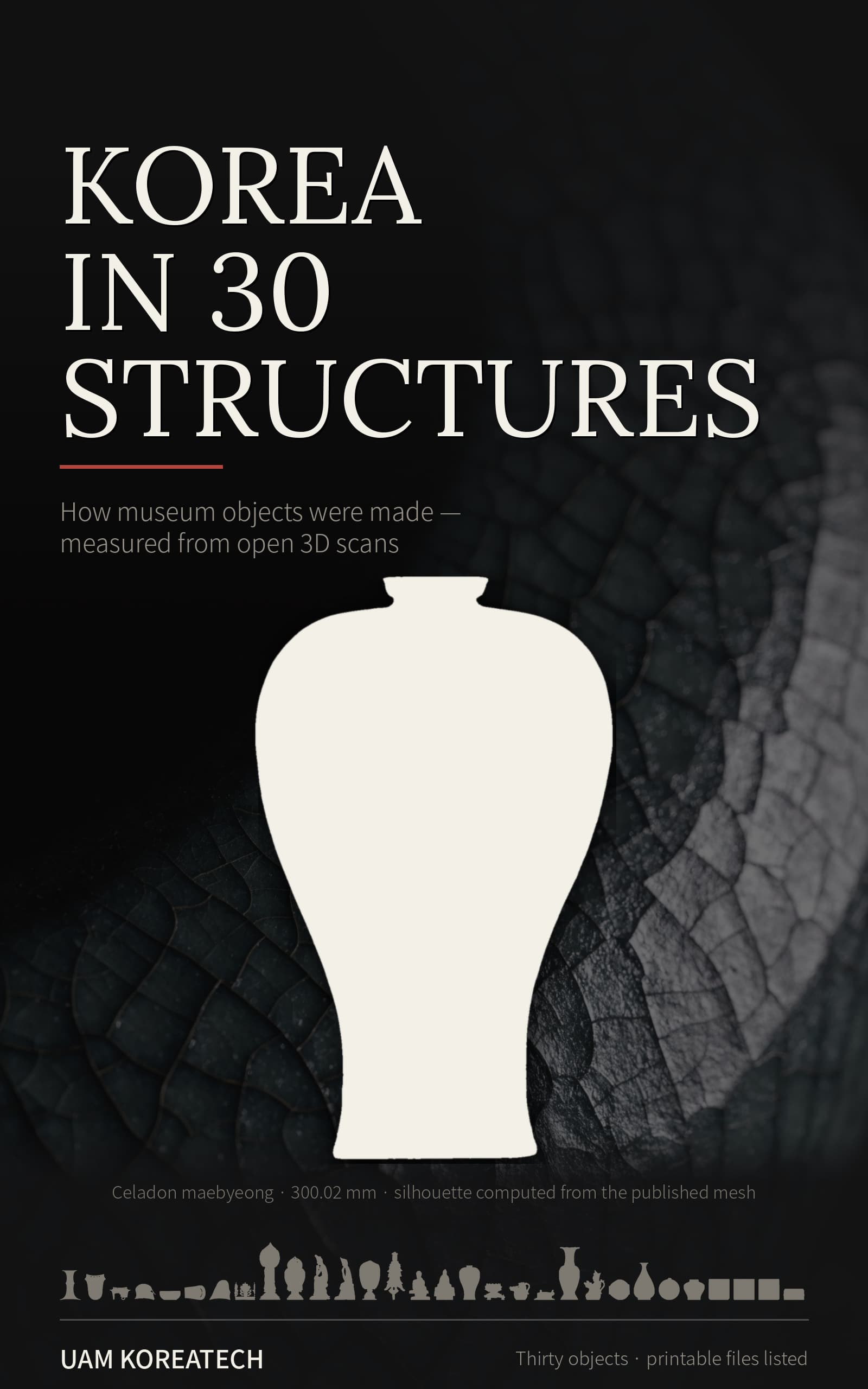
Structure · Heritage
Public 3D data reveals making choices as well as the limits of the scan.
Amazon listing →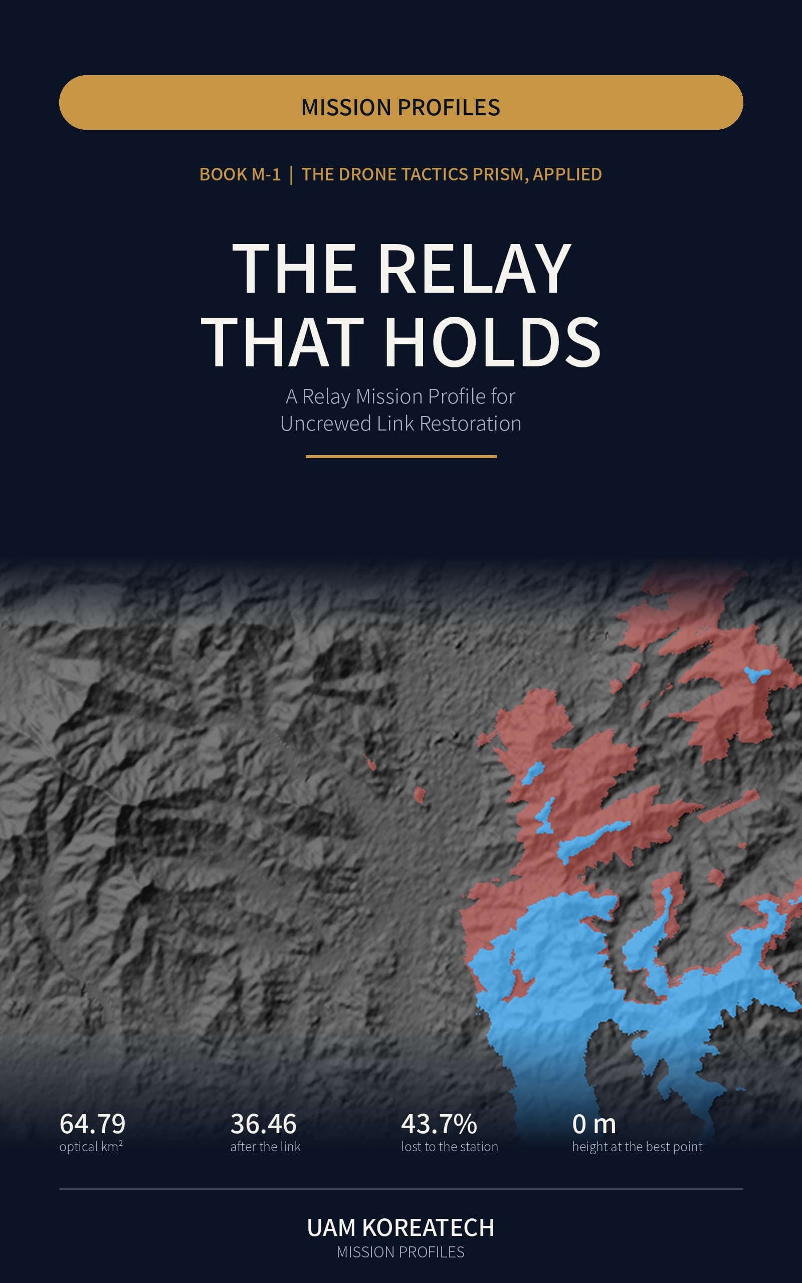
Network · Relay
Ancient beacon networks and modern unmanned relays meet in the same questions of sightline, altitude and handover.
Amazon listing →Book covers are shown for introduction. Landscape visuals on this site are AI-generated concept illustrations, not photographs or field-test records of a named heritage site.
Honesty guards
Ledger template · free
The same tables used in the videos and on this page: 15 fixed-fact rows, the instruction template, and the self-check table. Leave an email to open it now; we send one note when a new episode ledger goes up.
Used only for new-episode notes. Unsubscribe any time.
This page is a first-edition translation of the Korean source and is under review.