
Terrain · Sightline
Where the Beacon Should Have Stood
The ridge between two points—not distance alone—determines visibility.
View the book →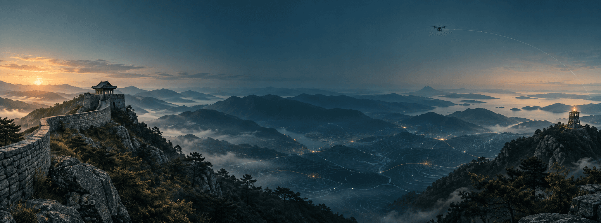
TacticalPrompt Method · From space to judgment
TacticalPrompt rereads history, heritage, cities and drones through place, observation, constraint, choice and outcome—then turns them into prompts that return evidence rather than confidence.
STORY
Inside an object, along a mountain ridge and at a relay point: three ways to see what space enabled and concealed.
Terrain · Sightline
The ridge between two points—not distance alone—determines visibility.
View the book →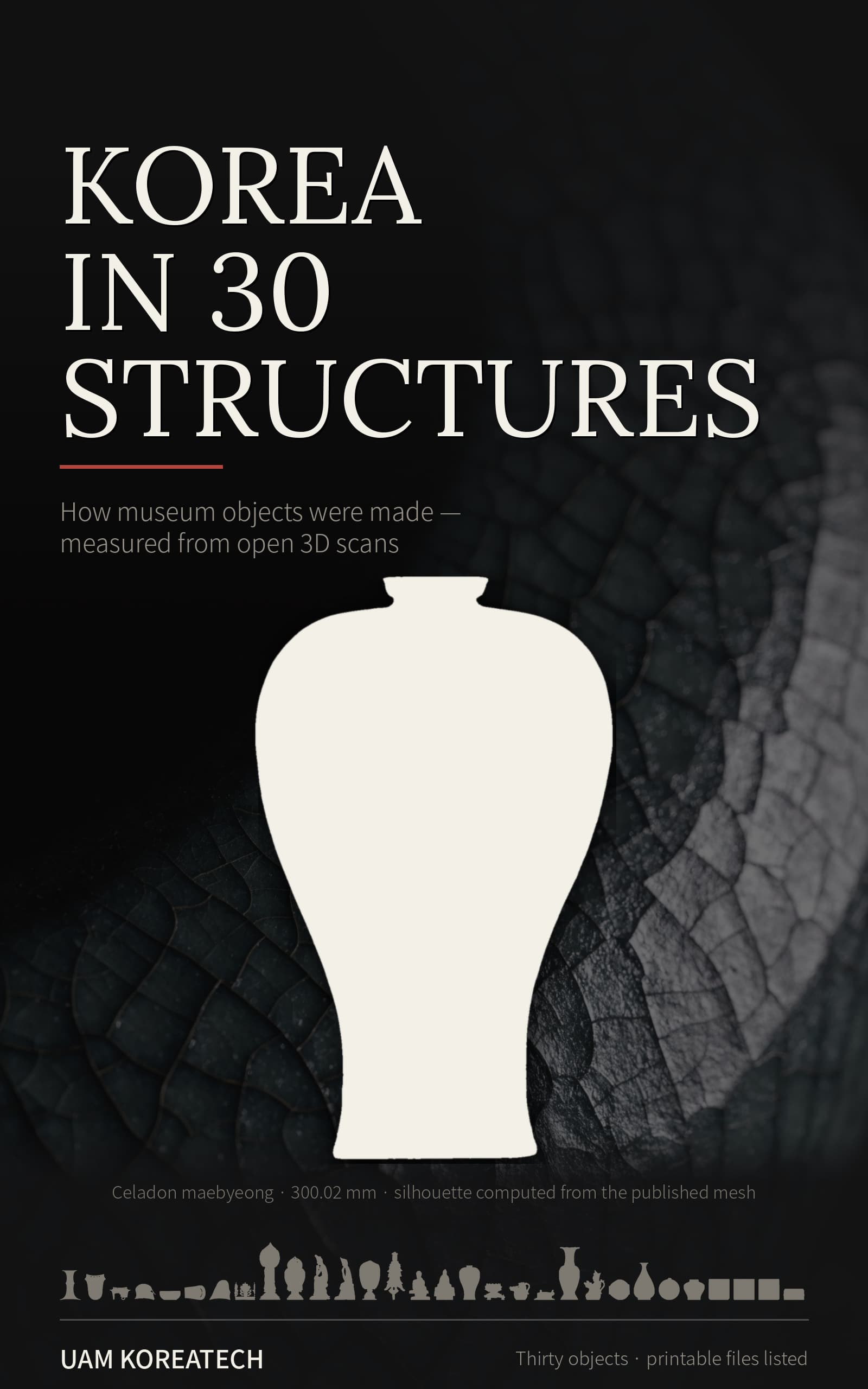
Structure · Heritage
Public 3D data separates making choices from what the scan has lost.
View the book →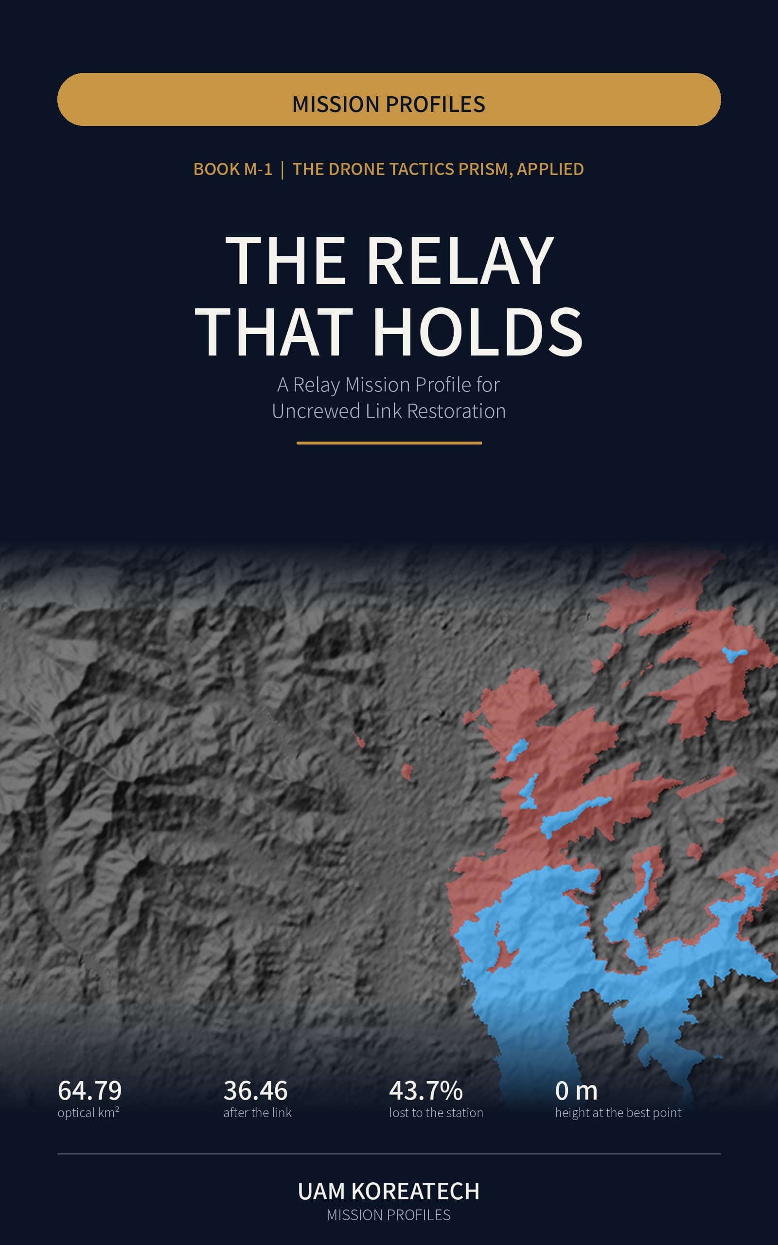
Network · Relay
From beacon chains to unmanned relays, simultaneous links and handover remain spatial problems.
View the book →TACTICALPROMPT METHOD
The sequence keeps fact and interpretation apart. The final prompt asks an AI for verifiable evidence, not a verdict.
PROMPT CARD · 01
For every candidate, table the visible area, reason for blind spots, data used and unknowns. Do not rank by distance alone.
01 · SPACE
Where did it happen, and was the historic location the same as today?
02 · ACTOR
Who could see what, and from which position?
03 · EVENT
What changed at that moment?
04 · CONSTRAINT
Which terrain, time, institutional or technical condition closed an option?
05 · DECISION
Which path was chosen, and which was abandoned?
06 · OUTCOME
Did the outcome follow from the choice or another condition?
07 · TRANSFER
What could be measured again with today’s AI, city data or drones?
This is an editorial and educational framework, not an accredited discipline, military doctrine or standardized intelligence, personality or aptitude test. Historical landscapes are AI-generated concept illustrations, not photographs or field-test records of a named site.